Satellite methane detection response playbook
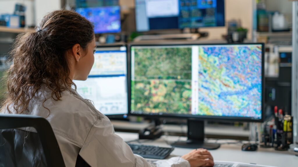
The Oil and Gas Climate Initiative (OGCI) has released a first of its kind Satellite Methane Detection Response Playbook to help oil and gas operators respond rapidly and effectively to methane emissions detected from space. The playbook advances OGCI’s mission to equip operators across the global oil and gas industry with the knowledge and tools needed to […]
SOCAR- Utilization of associated gas in Gunashli oil field

SOCAR captures and utilizes associated gas in Gunashli field to reduce emissions.
EDF: A comprehensive assessment of methane emissions in the Permian basin
EDF’s PermianMAP project offers transparent methane emissions data for the Permian Basin.
Tackling emissions at home and abroad: EU Methane Strategy and proposed regulation
EU proposes regulations for methane emission reductions in energy sector.
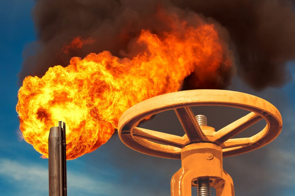
bp: Reducing methane slips from flaring
BP uses Flare.IQ to enhance flare efficiency and reduce methane emissions.
GRTgaz: Abating vented emissions in transmission networks

GRTgaz case study on reducing vented emissions in transmission networks.
Increasing levels of Methane transparency
The Methane Transparency platform by RMI is an interactive educational tool explaining the landscape of methane detection technologies. It demonstrates how various methane detection methods—such as satellites, aerial surveys, and ground-based sensors—complement each other to identify and mitigate methane emissions effectively.
Emissions measurement and monitoring technology roadmap
This resource identifies adoptable technology for measuring and monitoring emissions from power generation, flaring, and venting. The technologies included range from in-situ sensors and handheld instruments to drones, planes, and satellites. Multiple technologies can work together. Using a combination of different measurement and detection solutions, operators can achieve a real-time, more cost efficient and increasingly […]
How environmental conditions shape methane monitoring from space
In this report explores how environmental conditions — such as cloud cover and terrain roughness — can impact the availability of satellite data in different regions around the world over the course of the year. By providing these insights, the report aims to help new users understand how environmental factors might affect data coverage, highlighting […]
MGP, Stanford University: Methane sensing aircraft & satellites
Stanford University’s Sahar El Labadi presents a multi-year synthesis of aircraft and satellite methane sensing evaluations, covering detection techniques, blind testing protocols, and platform-specific performance.